We’re studying world geography and wanted to share a little something I made for Stephen (but mainly me, ahem) to give him (or rather, me) a different method of practicing the countries and capitals of Europe. He hasn’t wanted to use Seterra or Quizlet to practice, and drawing and labeling are tough to do when you’re on the road as much as we have been the past couple of weeks. So… let’s bring out the handy dandy, real-life flashcards.
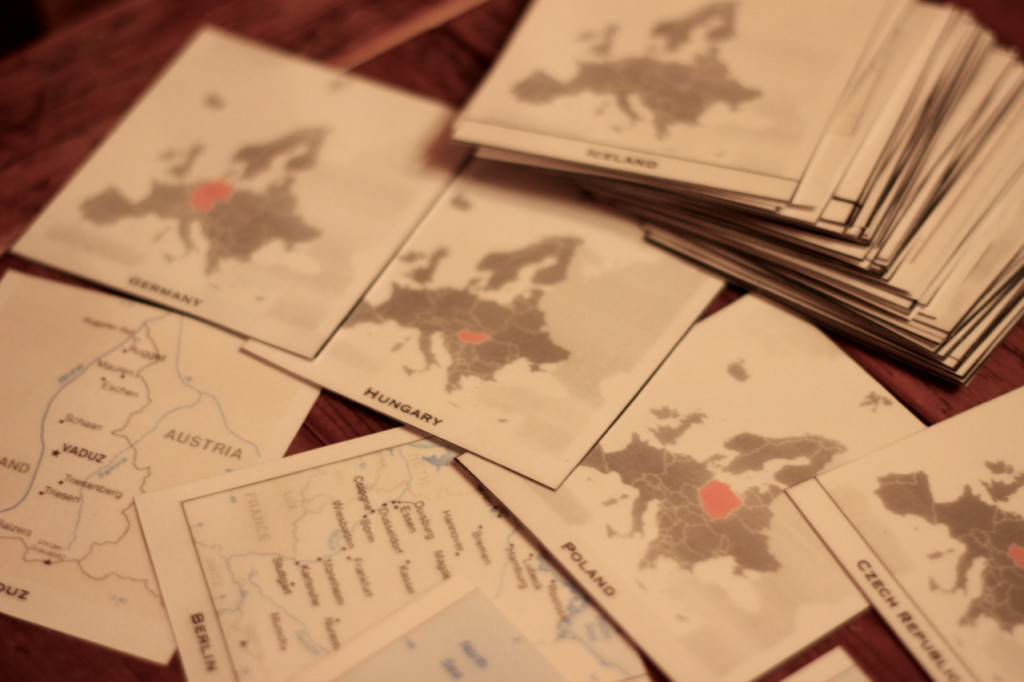
(Flashcards are really my answer to just about anything.)
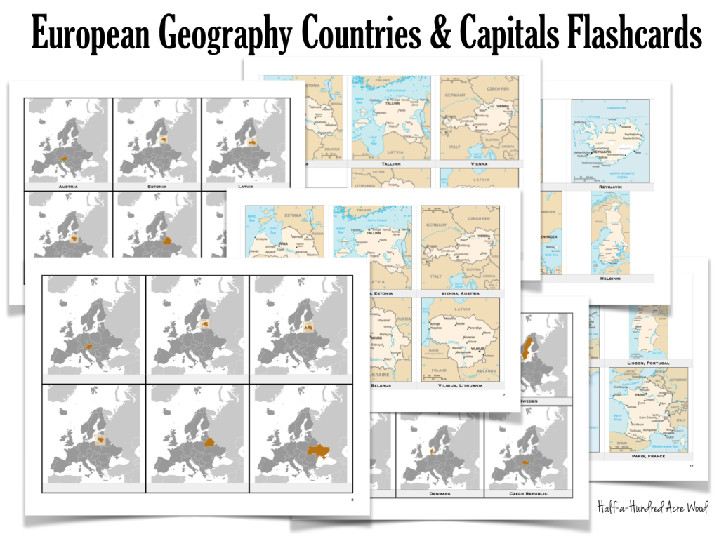
There are two versions…
European Countries & Capitals Flashcards with capitals on reverse of countries:
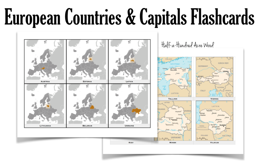
European Countries & Capitals Flashcards with capitals and countries written on the same side:
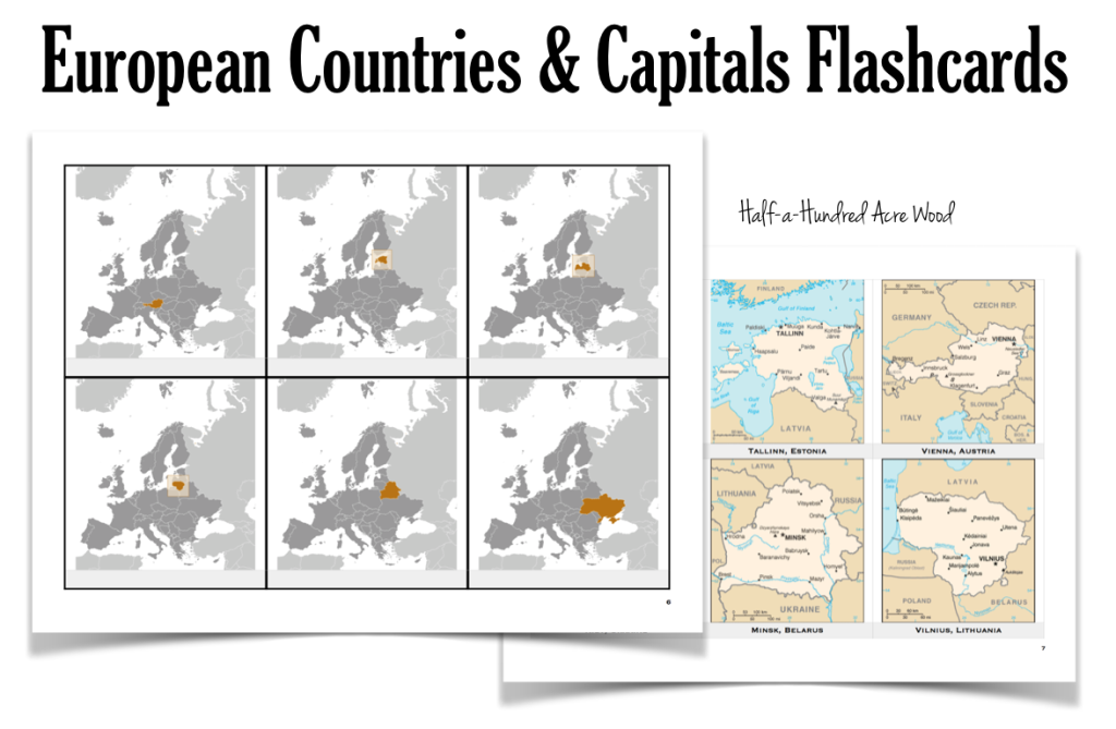 When printing with Adobe Acrobat Reader, be sure to select “Actual Size” under the “Page Sizing and Handling” section. When printing in Mac Preview, be sure the print scale is set to 100%.
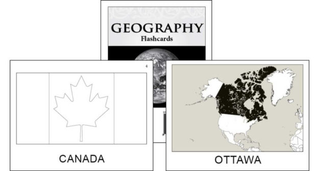
If you prefer not to print flashcards…
Check out Memoria Press’s flashcards. This is a great alternative to printing and cutting them out yourself!
If you’re memorizing how to draw the world freehand, we also highly recommend the entire Draw the… [Continent] books by Kristin Draeger.
We use Draw the World and Draw the USA in our Mission: Great Commission curriculum.
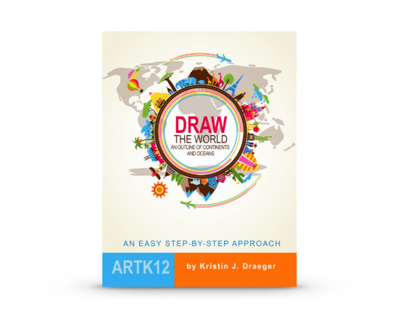
Draw the World
Learn to draw the world from memory! Draw the World provides students with a simple method of committing a continent outline map of the world to memory. Through simple, step-by-step instructions, students learn to draw each continent as it connects to neighboring continents. This resource is also used in the Mission Pacific Peacemakers Six-Week Unit Study.
Suggested grades: Elementary through High School
Price: $19.95
Format: Paperback.


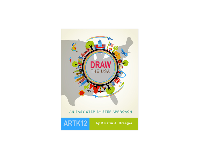
Draw the USA
Learn to draw and label the United States of America from memory! Draw the USA provides students with a simple method of committing the map of the USA to memory. Through simple, step-by-step instructions, students learn to draw each state as it connects to neighboring states. This resource is used in Units 5 & 6 of our Mission: Lasting Liberty curriculum.
Suggested grades: Elementary through High School
Price: $19.95
Format: Paperback.
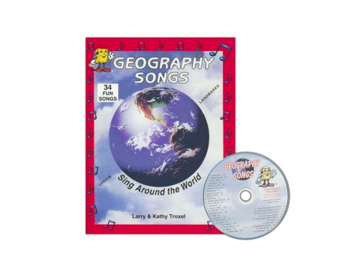
Fortunately, we’ve already memorized European countries through Kathy Troxel’s Audio Memory Geography Songs CD/Booklet.
Geography Songs CD, Book, & Map Kit
Memorize the world through song! Divided by geographical regions, these echo-style songs make it simple to memorize the countries of the world. The audio CD includes 34 songs that teach the names of 225 countries, the continents & oceans, and the planets of the solar system. This resource is used in our Mission: World Wonders and Mission: Faith Forgers curriculum.
Suggested grades: Elementary through Middle School
Price: $22.95
Format: Kit consists of an audio CD, a 25″ x 36″ world map with items to label and song lyrics, and a family-reproducible workbook with lyrics and maps.
To learn how to draw each continent freehand, check out the Chalk Pastels Membership (which includes hundreds of simple art projects to reinforce history, literature, science, and other subjects.) For more resources for world geography, world missions, and world cultures, visit the geography section of our website.